Athens metropolitan area
The Athens metropolitan area (Greek: Μητροπολιτική Περιοχή της Αθήνας) spans 2,928.717 km2 (1,131 sq mi) within the Attica region and consists of 58 municipalities plus areas of East Attica and West Attica, having reached a population of 3,722,544 according to the 2021 census.[1] Athens and Piraeus municipalities serve as the two metropolitan centres of the Athens metropolitan area.[2]
Athens metropolitan area | |
|---|---|
 | |
| Coordinates: 37°59′03″N 23°43′41″E | |
| Geographic region | Central Greece |
| Administrative region | Attica |
| Area | |
| • Metro | 2,928.717 km2 (1,130.784 sq mi) |
| Highest elevation | 1.413 m (4.636 ft) |
| Lowest elevation | 0 m (0 ft) |
| Population (2021)[1] | |
| • Metro | 3,722,544 |
| • Metro density | 1,300/km2 (3,300/sq mi) |
| Time zone | UTC+2 (EET) |
| • Summer (DST) | UTC+3 (EEST) |
| Telephone | 21 |
| Vehicle registration | Yxx, Zxx, Ixx |
| Major airport(s) | Athens International Airport |
According to the Hellenic Telecommunications and Post Commission, the Athens metropolitan area consists of all areas with a dialing code of 21 and includes areas such as Salamina, Elefsina, Mandra, Aspropyrgos, Acharnes, Pallini, Agios Stefanos, Dionysos, Koropi, Vari, Kavouri and the Athens International Airport.[3][4][5][6]
Administration
The Athens Urban Area, also known as Greater Athens,[7] consists of 40 municipalities, 35 of which make up what was referred to as the former Athens Prefecture municipalities, located within 4 regional units (North Athens, West Athens, Central Athens, South Athens); and a further 5 municipalities, which make up the former Piraeus Prefecture municipalities, located within the regional unit of Piraeus. The Athens Municipality forms the core and centre of Greater Athens, which in turn consists of the Athens Municipality and 40 more municipalities, divided in four regional units, accounting for 2,597,935 people (in 2021) within an area of 361 km2 (139 sq mi). The four regional units of Athens , Piraeus and parts of East [8] and West Attica[9] regional units combined make up the continuous Athens Urban Area. [9][10][11]
References
- "Census 2021". Retrieved 3 January 2023.
- "MASTER PLAN FOR ATHENS AND ATTICA 2021, pg 13, 24, 27, 33, 36, 89". Archived from the original on 21 March 2012.
- https://web.archive.org/web/20220124172526/https://www.eett.gr/opencms/export/sites/default/EETT/Electronic_Communications/Telecoms/Numbering/Doc_GR.pdf
- https://web.archive.org/web/20230102204923/https://skytelecom.gr/2021/01/26/kodikoi-tilefwnwn-ana-perioxi/
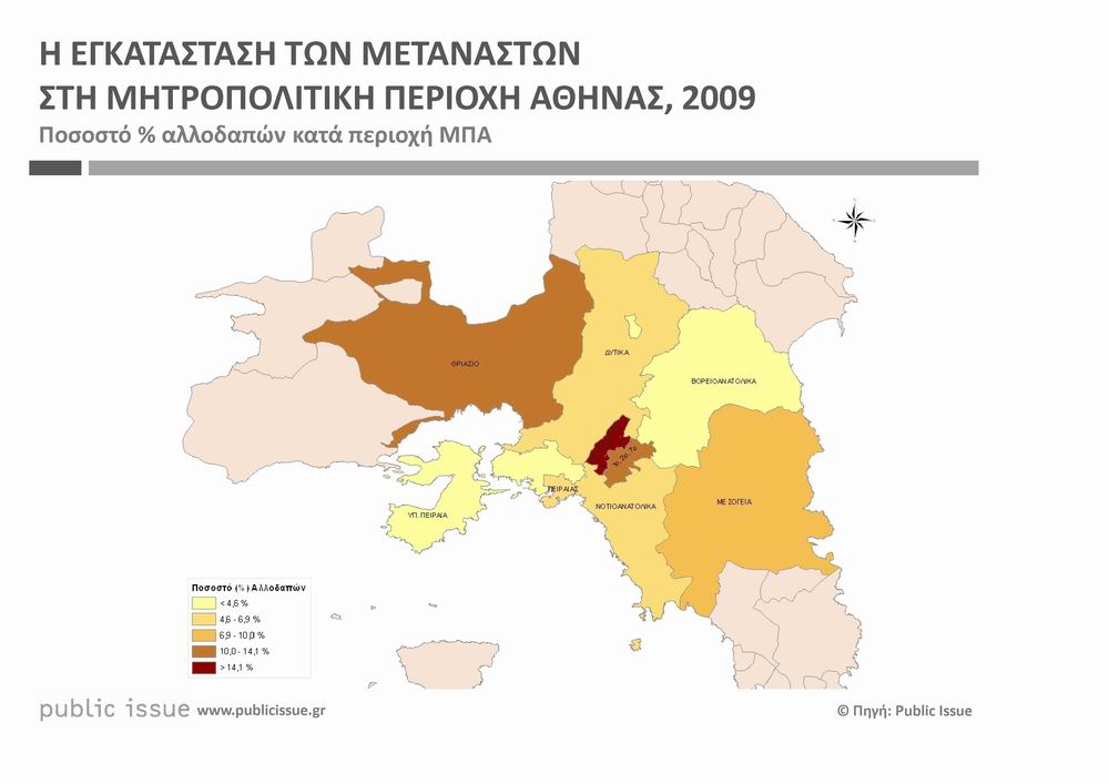
- https://www.publicissue.gr/wp-content/uploads/2010/08/image1.jpg
- https://www.ita.org.gr/el/images/meletes_ita/mhtropolitikh-athina.pdf
- "Greater Athens (Greece): Municipalities – Population Statistics, Charts and Map". citypopulation.de. Archived from the original on 3 May 2020. Retrieved 2020-05-24.
- "Concise Statistical Yearbook of Greece 2001 page 38, National Statistical Service of Greece" (PDF). Archived (PDF) from the original on 1 July 2019. Retrieved 26 August 2019.
- "Αttikh". EraNET (in Greek). Archived from the original on 29 June 2019. Retrieved 8 August 2019.
- "Monthly Statistical Bulletin Monthly Statistical Bulletin December 2012, Hellenic Statistical Authority, page 64" (PDF). Archived (PDF) from the original on 13 July 2020. Retrieved 29 August 2019.
- "Statistical Yearbook of Greece 2001 page 72, National Statistical Service of Greece" (PDF). Archived (PDF) from the original on 1 July 2019. Retrieved 8 August 2019.